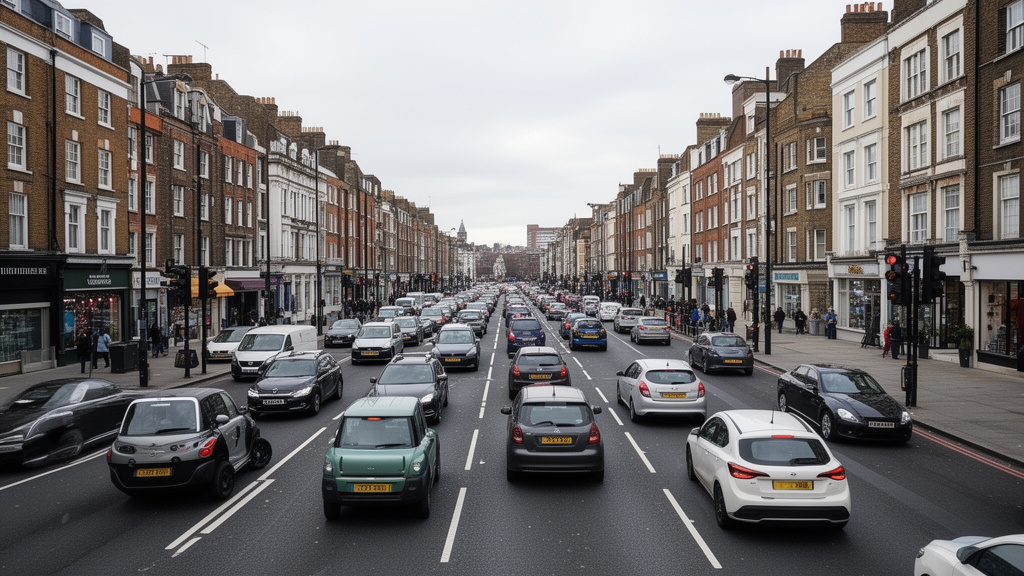

London is currently experiencing a significant heatwave, with temperatures reaching up to 34°C (93°F), an unseasonably high figure for July. This intense heat is predicted to persist, with Thursday, July 9, 2026, set to be the hottest day of the week. Temperatures are forecast to peak between 4pm and 7pm, reaching a sweltering 33°C. However, relief may come with a dramatic turn in weather, as thunderstorms are anticipated to arrive late on July 8 and continue into July 9. These storms carry the potential for heavy rain, frequent lightning, and strong winds, raising concerns about localized flooding, particularly in low-lying areas of the capital.
Key Highlights:
- London’s heatwave intensifies, with highs nearing 34°C.
- Thursday, July 9, 2026, is projected as the week’s peak heat day (33°C, 4pm-7pm).
- Thunderstorms are forecast to hit late July 8, continuing through July 9.
- Potential for heavy rain, lightning, and strong winds associated with storms.
- Residents advised to stay hydrated and seek shelter during storms.
London’s Extreme Weather Double-Whammy: Heat to Thunderstorm Transition
The UK capital is grappling with an intense period of high temperatures, a stark contrast to typical July conditions. The heatwave, which began earlier in the week, shows no signs of immediate abatement, with forecasters highlighting Thursday, July 9, 2026, as the zenith of this heat event. The mercury is expected to climb to a peak of 33°C (91.4°F) during the late afternoon and early evening hours, typically between 4pm and 7pm. This sustained period of high temperatures poses significant health risks, especially for vulnerable populations. Public health officials are reiterating advice to stay hydrated, seek cool environments, and avoid strenuous activity during the hottest parts of the day.
Meteorological Shift: From Oppressive Heat to Stormy Deluge
The narrative of soaring temperatures is set to take a dramatic turn as weather systems shift. By late Wednesday, July 8, 2026, and extending into Thursday, July 9, London can expect the arrival of thunderstorms. These are not anticipated to be mere showers but potentially severe events characterized by heavy downpours, intense lightning activity, and powerful gusts of wind. The combination of dry, hot conditions preceding the storms could exacerbate the impact of any associated flooding, turning brief deluges into hazardous conditions in flood-prone zones.
Impact and Preparedness: Navigating the Unpredictable Weather
Authorities are urging Londoners to remain vigilant and prepared for the impending change in weather. The risk of localized flooding necessitates caution, especially for those living or traveling through low-lying areas. Emergency services are on standby, monitoring the developing situation. The Met Office has issued advisories for the public to stay informed about weather updates and to take necessary precautions. This includes securing outdoor items that could be affected by strong winds and ensuring drains are clear of debris to mitigate flood risks. The transition from extreme heat to severe thunderstorms presents a multifaceted challenge for urban infrastructure and public safety.
Historical Context: Unseasonable Heat and Storm Patterns
While heatwaves are becoming more frequent and intense globally due to climate change, the specific combination of a severe July heatwave followed by thunderstorms of this predicted magnitude is noteworthy for London. Historically, the UK experiences a range of weather, but prolonged periods of extreme heat coupled with severe convective storms can strain resources and infrastructure. Understanding these patterns is crucial for long-term urban planning and public health strategies. The current event underscores the need for enhanced resilience in anticipating and responding to increasingly extreme weather phenomena.
Economic and Social Ramifications of Extreme Weather
Beyond the immediate health and safety concerns, these extreme weather events can have broader economic and social implications for London. Disruption to transport networks due to flooding or heat-related infrastructure failures can impact daily commutes and supply chains. Local businesses may face challenges, from reduced foot traffic during peak heat to potential damage from storms. Furthermore, the strain on public services, including healthcare, increases during such periods. The recurring nature of these events, as predicted by climate scientists, suggests a growing need for adaptive measures across all sectors of the city.
FAQ: People Also Ask
What are the specific temperature forecasts for Thursday, July 9, 2026?
Temperatures on Thursday, July 9, 2026, are expected to peak at approximately 33°C (91.4°F) between 4pm and 7pm. Overall, it is predicted to be the hottest day of the current heatwave.
When are the thunderstorms expected to hit London?
Thunderstorms are forecast to begin arriving late on Wednesday, July 8, 2026, and are expected to continue into Thursday, July 9, 2026. They may bring heavy rain, lightning, and strong winds.
What are the main risks associated with the expected thunderstorms?
The primary risks include heavy rainfall that could lead to localized flooding, especially in low-lying areas, and strong winds that may cause damage. Lightning is also a significant hazard.
What advice is being given to London residents?
Residents are advised to stay hydrated, seek cool places to escape the heat, avoid prolonged sun exposure during peak hours, and be prepared for the arrival of thunderstorms. It is recommended to stay indoors or seek shelter if thunderstorms approach and to take precautions against potential flooding.
Is this heatwave unusual for London in July?
Yes, the current temperatures reaching up to 34°C (93°F) are considered unseasonably high for July in London, indicating a significant and potentially extreme weather event.